Drexel Park located between 32nd Street and Powelton Avenue
Overview of Drexel Park:
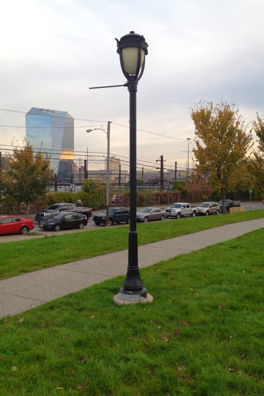
Drexel Park's construction began in the Fall of 2007 and was finished by the Summer of 2008. It's prior use was a former consolidated laundry industrial site. The $500,000 project included walking paths, trees, benches, and lighting posts. The 2.5 acres is used in a variety of ways by the public. People can come to walk their dogs, ride their bikes on the paths, play recreational sports, or sit and read book. The park is also used by both Drexel students and Powelton residents. It is Powelton's largest public open space.
 |
| Image from Powelton Village Master Plan 2011 (Pg. 47) |
The Rocky Road of Drexel Park:
The expansion of Drexel into the neighborhood of Powelton village was always a rocky journey. In 1995, Drexel decided to plan a temporary student housing facility on the empty lot. When the Powelton Village Civic Association (PCVA) heard about the facility, they were not happy. They had an agreement with Drexel that the vacant lot would always become a park. The president of the PCVA at that time decided to join forces with another neighborhood association called Summer-Winter neighbors and called themselves "Consolidated Neighbors." Because of the PCVA president's connection with Jannie Blackwell, a democratic politician on the City Council, the new coalition was able to arrange a few meetings with President Papadakis to discuss the new plans about the student housing. During this meeting, members from the neighborhood were able to discuss their concerns about the student housing with lively remarks. Eventually, Papadakis folded on the plans for the student housing due to the neighborhood's opposition. Under the new president for PCVA, Drexel Park was built.
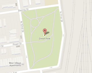 |
Image taken from Google Maps
|
What Powelton Village wants from Drexel Park:
Now that the Powelton neighborhood has gotten it's public open space, they came up with a strategic plan for their neighborhood. From the Powelton Village Direction: 2011 Neighborhood Plan, they would like to add more to the 32nd and Powelton Avenue area around Drexel Park. Because the Powelton neighborhood is made up of 76% students living within the area, they have encountered a few problems with the appearance of the neighborhood. Problems such as loud partying, trash debris on the sidewalk, public urination, etc. They have tried to pass legislature in regards to the partying and also had some re-zoning done. However, they have decided to incorporate the student life within their plan. They would like to turn it into a retail environment with shops along Powelton between 32nd and 32st streets. They want to add venues such as a couple of restaurants with outdoor seating in order to incorporate the park surrounding. They also want use the skyline view to its advantage by incorporating outdoor seating.
They also would like to restore the tree life within that area of Powelton village. They mention that part of Powelton's character is it's "village in the city" look, which comes from the multiple large trees surrounding the area. They would like to revitalize that image with more trees and green investment, which is portrayed in the image below.
 |
Image taken from Powelton Village Direction: 2011Neighborhood Plan
|
Layers of Spatial Rhythms:
I took two 6 second walks through Drexel Park. Each walk contains different views through the park. I wanted to see if I could capture the character of Drexel park along with Powelton Village's within these videos. PCVA's plan goes in depth to what the neighborhood was and what it should be in relationship to the coalition with Drexel University and it's students.
Videos:
View 1:
Within this video, I wanted to focus on the ground textures. What makes up Drexel park? The cut videos contain a variety of spots within Drexel Park.
View 2:
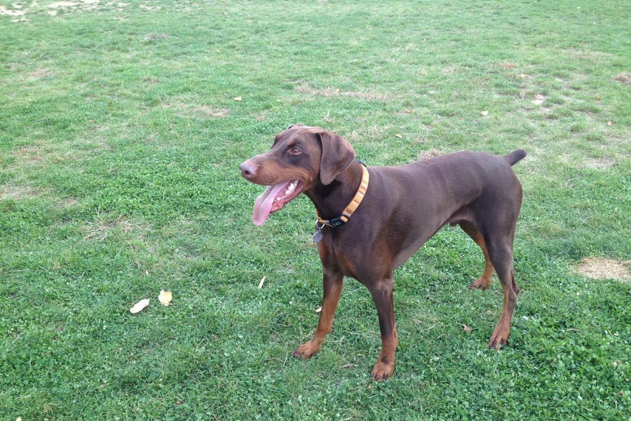
Within this video, I focus on the normal eye level in order to see the whole picture of the park when standing straight up. Through this view, you are able to get a sense of internal uses for the park. For instance, a woman throwing a ball to a dog.
View 3:
The third view incorporates what's outside of Drexel park. The viewer is able to see the city skylines along with the houses that surround the park.
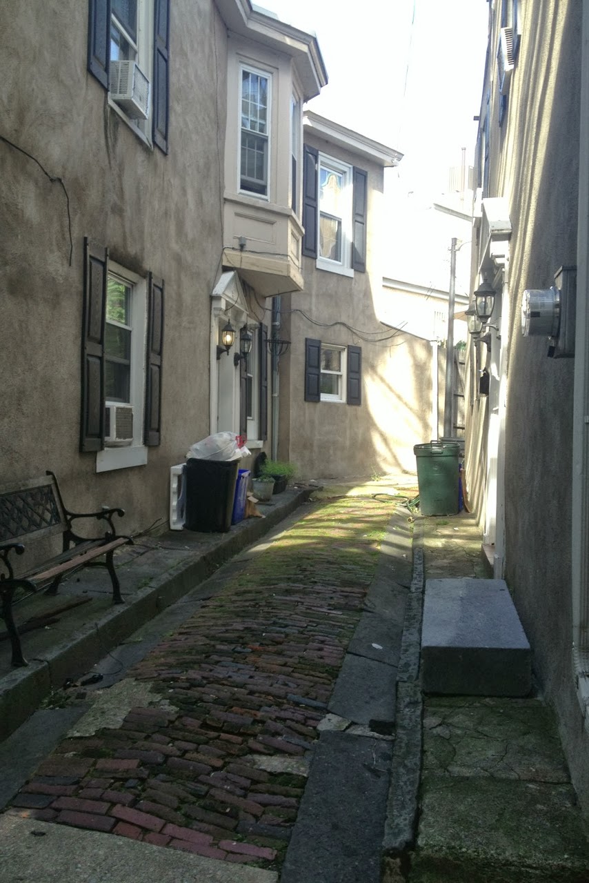
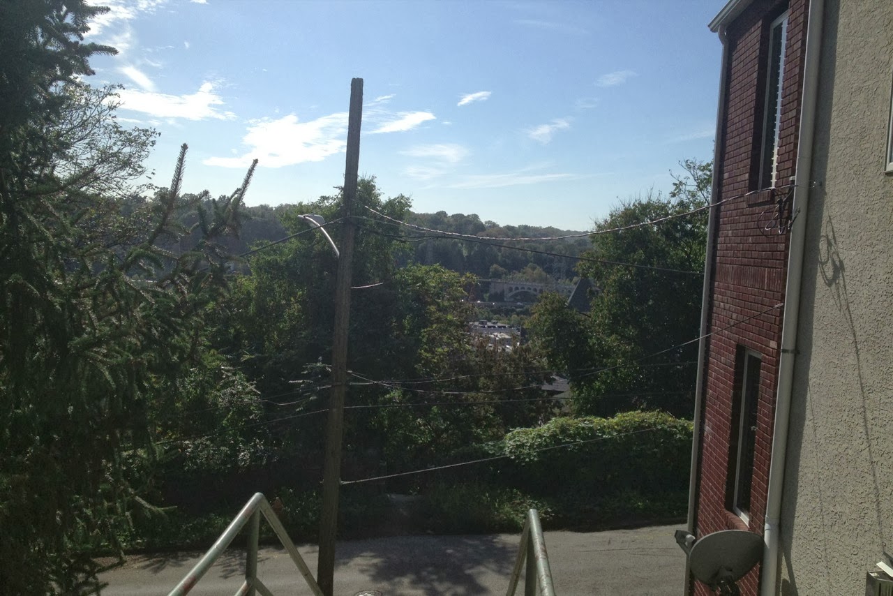
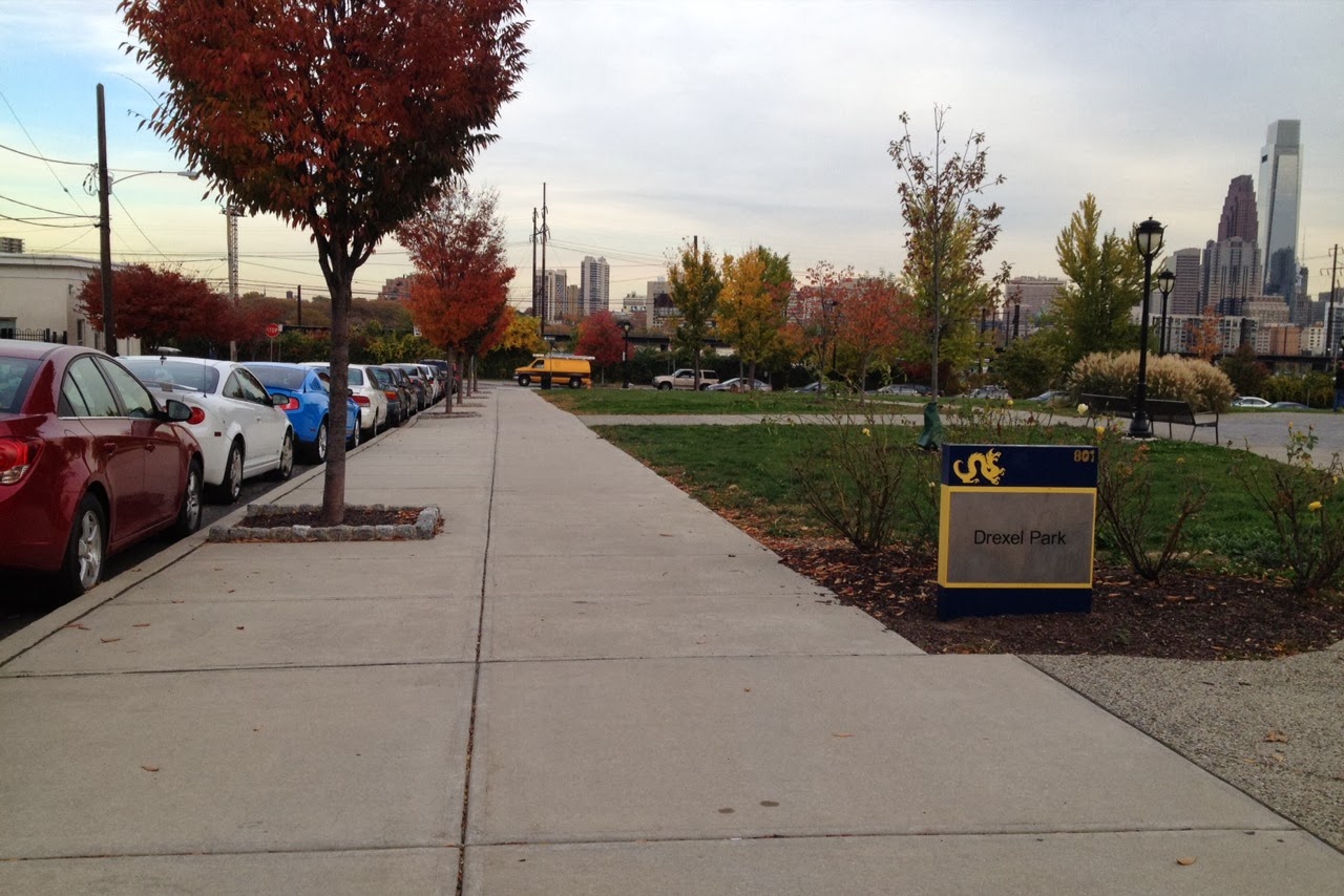
Images of Drexel Park from my lense:


.jpg)

.jpg)


.jpg)